Once machines do the work, everyone becomes an artist of their own space.
Homo Ludens — humanity at play, endlessly rebuilding the city of its desireThe record
New Babylon was less a movement than a single artist's two-decade act of world-building: Constant Nieuwenhuys, working almost alone after abandoning painting in 1953, spent from roughly 1956 to 1974 constructing an ever-expanding architectural fiction — a covered, elevated, planet-girdling city with no private property, no labor, and no fixed form, whose inhabitants ('homo ludens') would ceaselessly reconfigure its interior sectors according to mood and desire. It exists almost entirely as plexiglass and metal models, maps, lithographs, essays, and a few films; it was never built and was never meant to be a buildable plan so much as a provocation aimed at the imagination of architecture and politics alike.
The single premise
Once automation abolishes labor, humanity becomes homo ludens, endlessly reconstructing a vast, mobile, playful megastructure — a city built for creative freedom rather than production.
Recurring sectors of the vision
S/01
The city for homo ludens — humanity at play
S/02
The endless, transformable megastructure
S/03
Automation abolishing labor, freeing creativity
S/04
The nomadic, ever-reconstructed environment
Why the vision travelled
Memetic forces
- A total vision of a post-work society of play was utopian and intoxicating.
- Its lifelong, obsessive elaboration by one artist gave it mythic coherence.
- Its Situationist roots lent it revolutionary credibility.
Forces of assembly & forces of dispersal
Convergent engines →
- Constant's decades-long singular devotion.
- A rich body of models, maps, and manifestos.
- Its origins in Situationist unitary urbanism.
→ what held the world-model together
Divergent engines ↔
- A one-person project by nature.
- Constant's own break with the Situationists.
- Its permanent unbuildability.
↔ why it could never become a built movement
Drawing register
- Architect of the vision
- Constant Nieuwenhuys
- Mediums of construction
- The model The map The drawing The manifesto
- Archetypes
- The Ideal City The Autonomous Zone
- Span & place
- 1959 – 1974Amsterdam
The account
- Internal dynamics
- Essentially a lifelong solo project by Constant Nieuwenhuys, elaborated through models and drawings rather than a group or any built work.
- Impact on society
- One of the most influential unbuilt visions in architecture, shaping radical urbanism (Archigram, the Metabolists) and enduring as the emblem of the playful, liberated city.
- Fate
- Constant ceased the project in the 1970s; New Babylon lives as canonical visionary architecture and a touchstone for post-work utopias.
Scenius signature · a scene of one
A single artist's total, decades-long world-model of a post-work city of play — a scene of one that moved a whole field.
Counter-map · the other Babylon
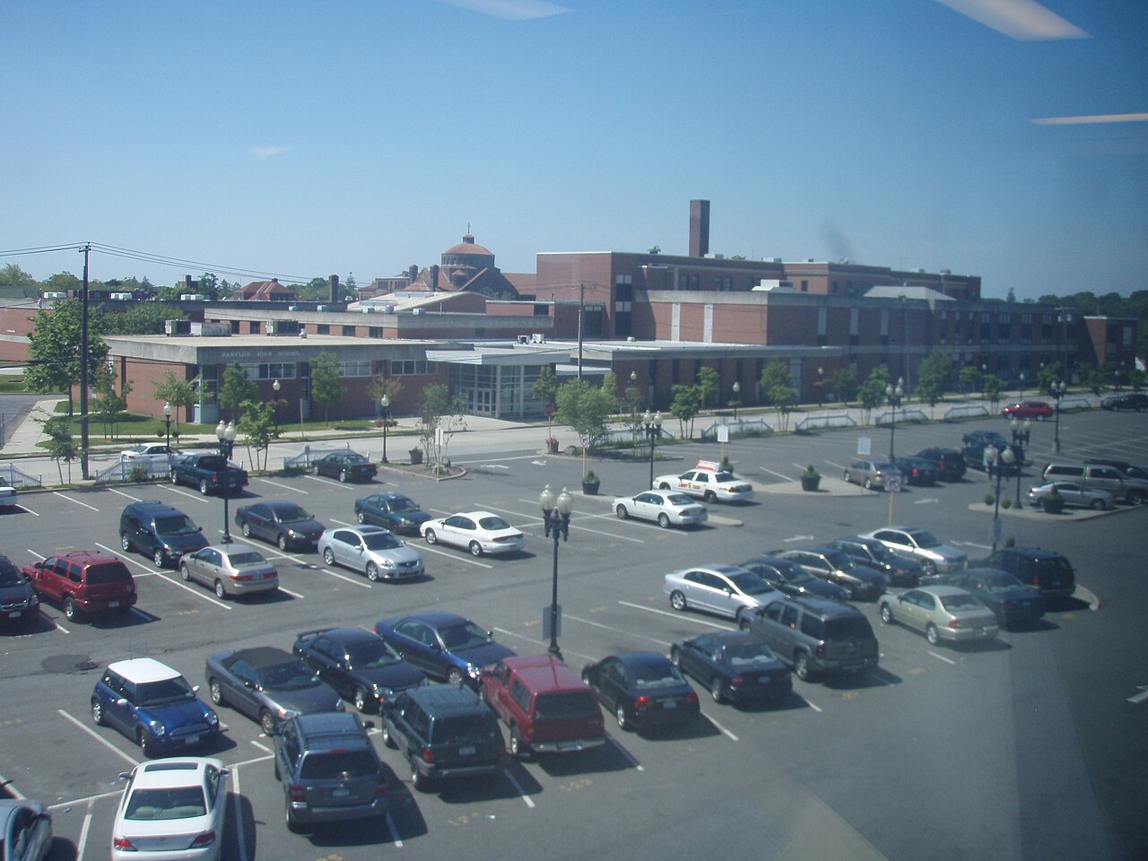
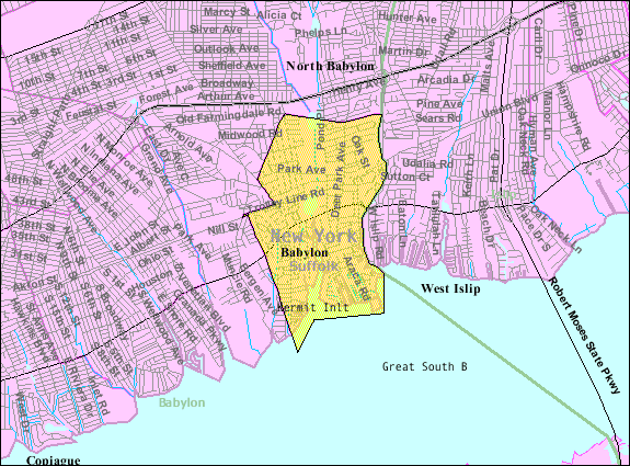
The public archive keeps no photographs of a city that was never built. What a search for "Babylon" surrenders instead is its exact inverse: a real, incorporated Babylon on Long Island, New York — a settlement of private lots, zoned parcels, and cars at rest. We reproduce it here not as illustration but as negation. Everything New Babylon abolished — property lines, the automobile, the fixed plan, work — is legible in these two public-domain documents of the ordinary town that happens to share its name.